c | Mapa Outlines of the physical and political divisions of South America |
| |
| | | |
|
| |
|
| | |
|
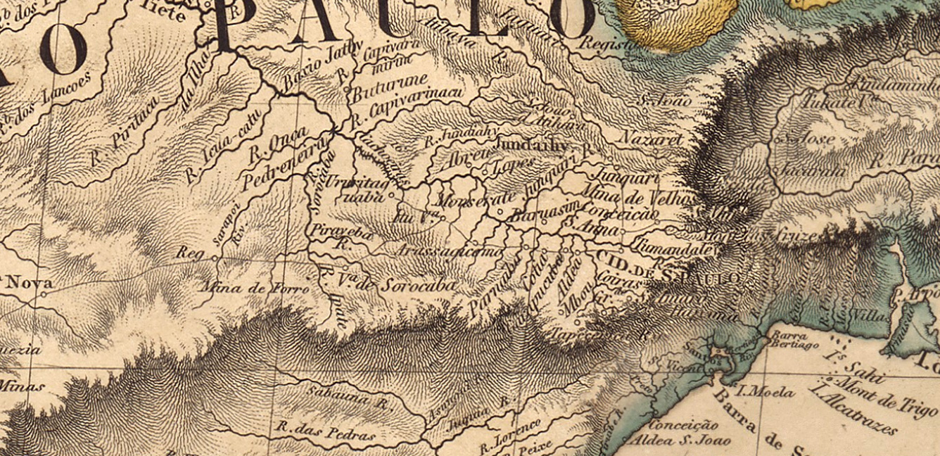 | | | | Mapa Outlines of the physical and political divisions of South America |
| Créditos / Fonte: bdlb.bn.gov.br/acervo/handle/20.500.12156.3/35516 |
| Autor/Colaborador: Aaron Arrowsmith e Edward Jones |
|
|
|
| |
| | Brasilbook.com.br
Desde 27/08/2017 | | |
| | | | 27868 registros, 14,570% de 191.260 (meta mínima) |
|
|
| Agradecemos as duvidas, criticas e sugestoes |
| Contato: (15) 99706.2000 Sorocaba/SP |
|
| | |
|
|


